MAKE THE INVISIBLE VISIBLE
Thermal Imaging
Platform
ThermoLabs is a hub for thermal imaging technology, datasets, and real-world applications. Learn through tutorials, explore research insights, and work with thermal data collected from satellites, drones, and handheld cameras to detect heat loss, infrastructure faults, and environmental changes.
-
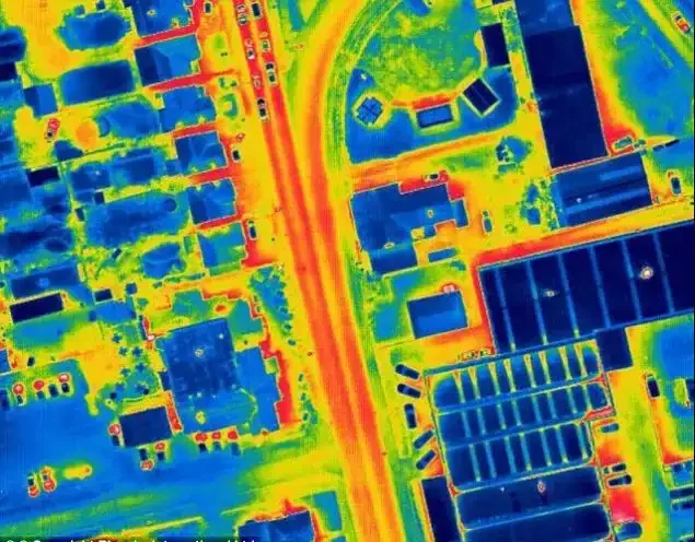
Heat Loss from Rooftop
-
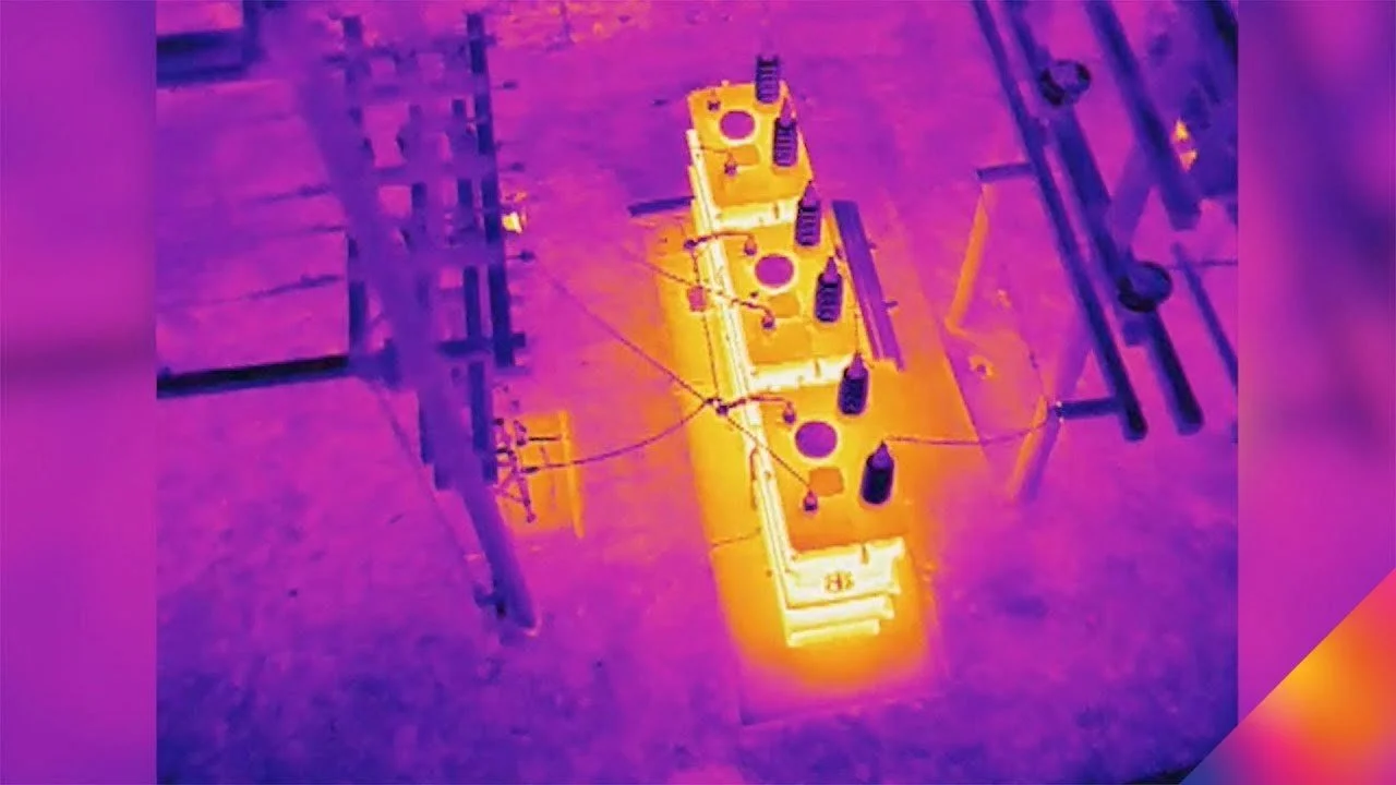
Electrical Industry
-
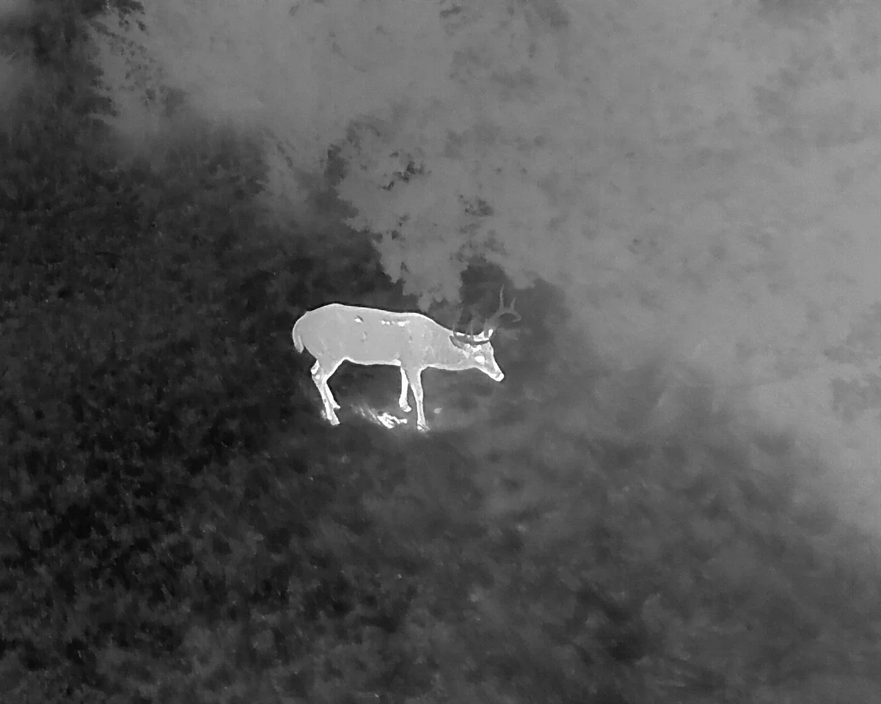
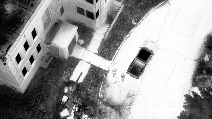
Wildlife Detecting and Monitoring
-
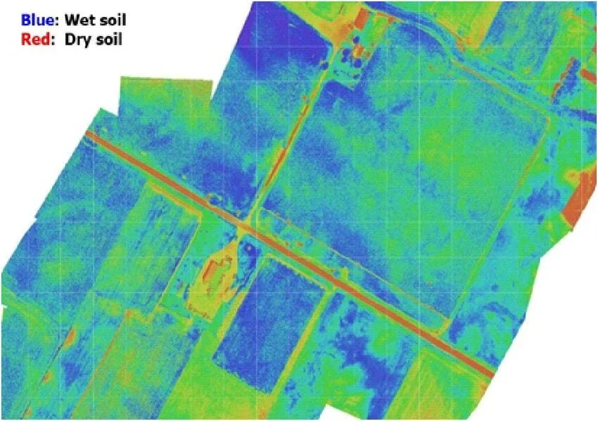
Agricultural Fields
-

Mapping Groundwater Discharge
-
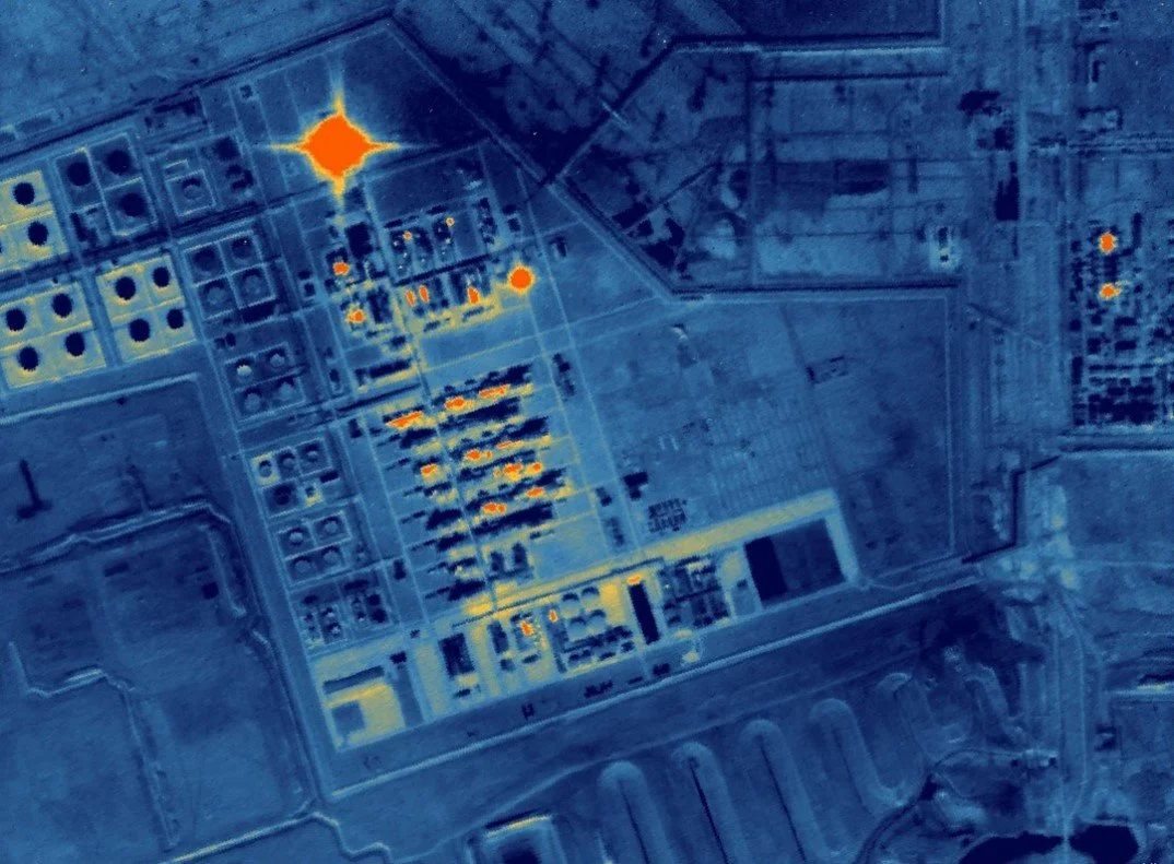
Oil and Gas Industry
-
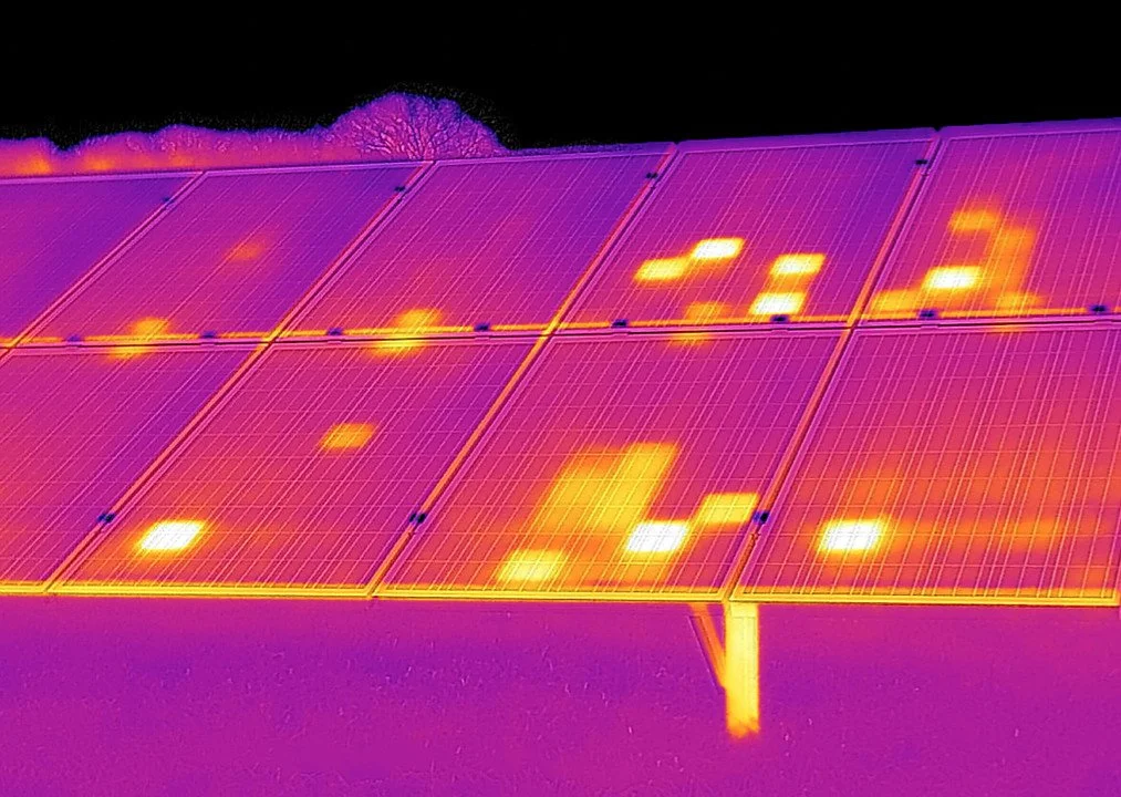
Solar Panels
-
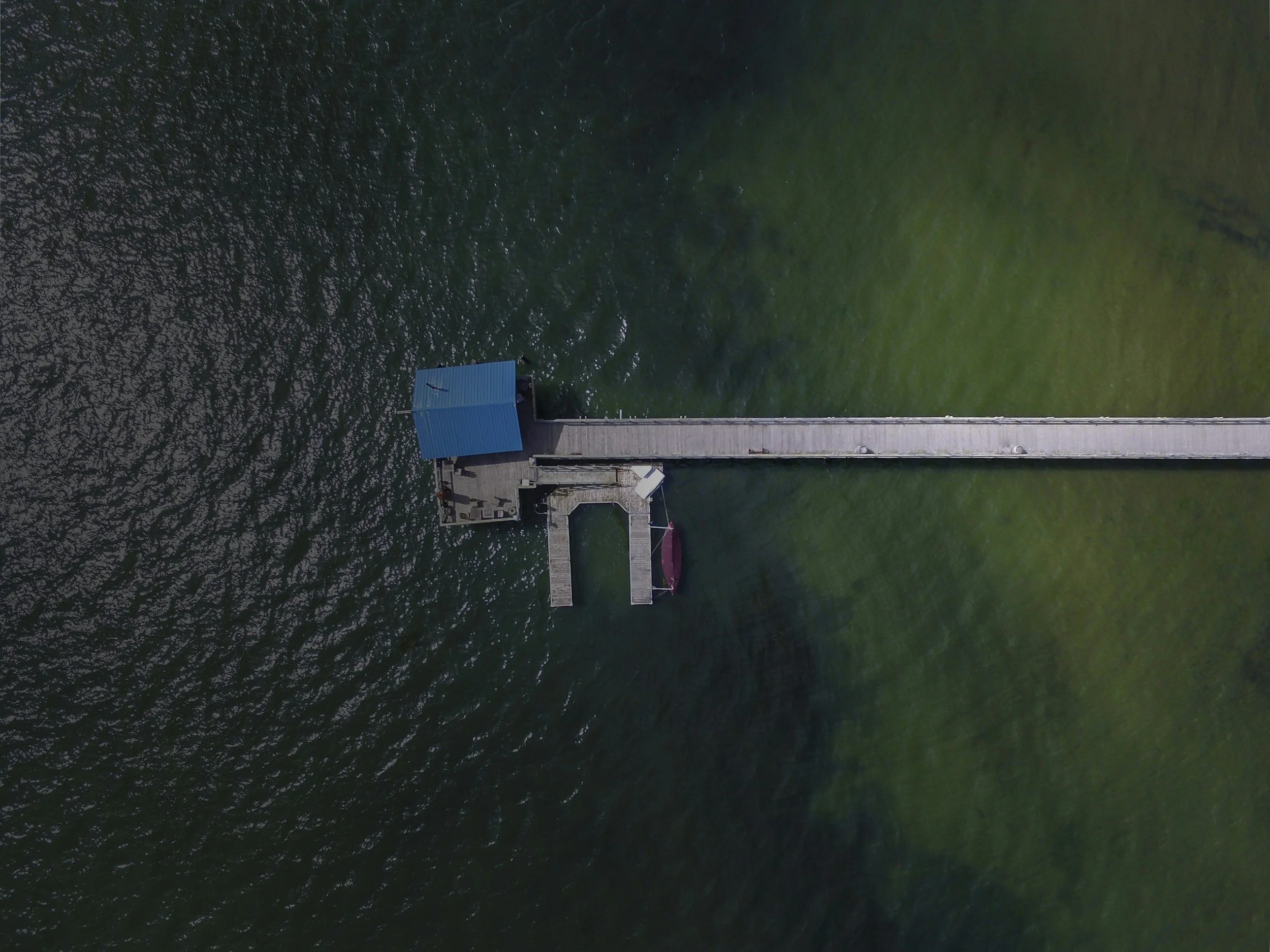
Water Body
-

Urban Heat Island
Technology to fly
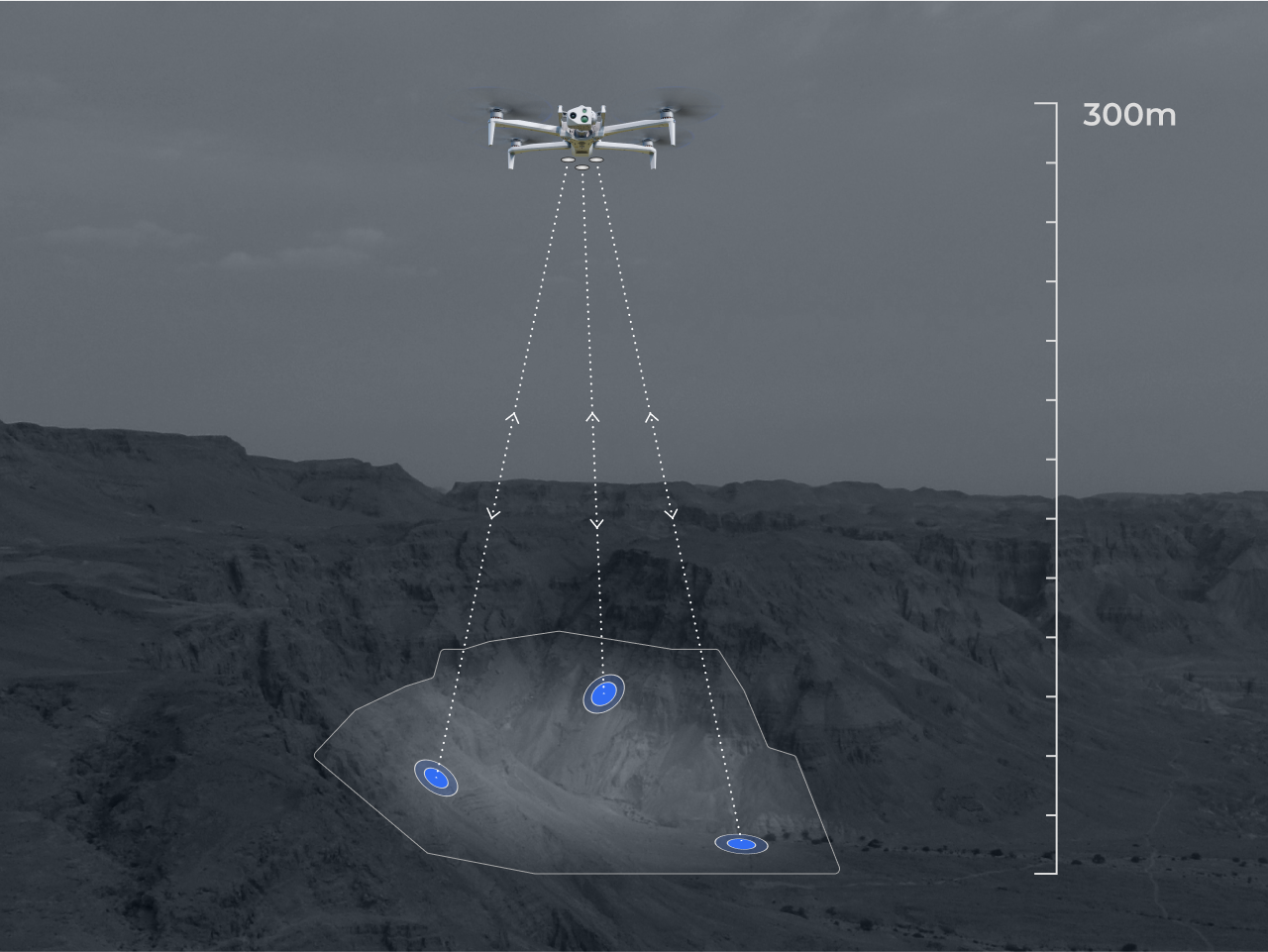
DJI Matrice 4T (Thermal + RGB)
A professional drone platform for thermal imaging, methane detection, and aerial inspections.
- Accurate thermal data — measure heat loss and temperature patterns.
- High-zoom visual imaging — inspect details safely from a distance.
- Reliable positioning — consistent and repeatable flight data.
Our Partners
We use drones to capture Thermal, RGB, and LiDAR data, then apply AI-powered analytics to turn it into fast, accurate, and actionable insights.
University of Calgary
City of Calgary
City of Edmonton
TELUS
Enbridge